
Acknowledgment of Country
We acknowledge that some of the research discussed and illustrated here is situated on the Country of the Gajerrong people of the Northern Territory, Australia. We acknowledge Gajerrong people as the enduring custodians of those lands and holders of the sacred knowledge and relationships that have maintained Country for millennia. We acknowledge that Gajerrong people have never ceded sovereignty, and that they continue to experience the ongoing and negative effects of colonial occupation. We respectfully acknowledge the deep learning and opportunities afforded to us by Gajerrong people through their generosity, their sense of community and family, and their ongoing support of our work together.
The research team acknowledges and pays respect to the Traditional Owners of the lands on which we work and live as well as the knowledge forever embedded in Country.
Gajerrong Country
Cultural and spiritual beliefs shape the worldview of Gajerrong Country, and attribute the creation of the landscape, its inhabitants, and laws to ancestral beings. Dispersal of Indigenous peoples due to settler violence led to labour on cattle stations, but periodic returns to traditional lands during the monsoon maintained cultural connections. Despite changes in land tenure, Gajerrong people have remained resilient, preserving ties to their Country. In 1986, a portion of land was returned to the Marralam community, reflecting ongoing efforts to reclaim ancestral territories.
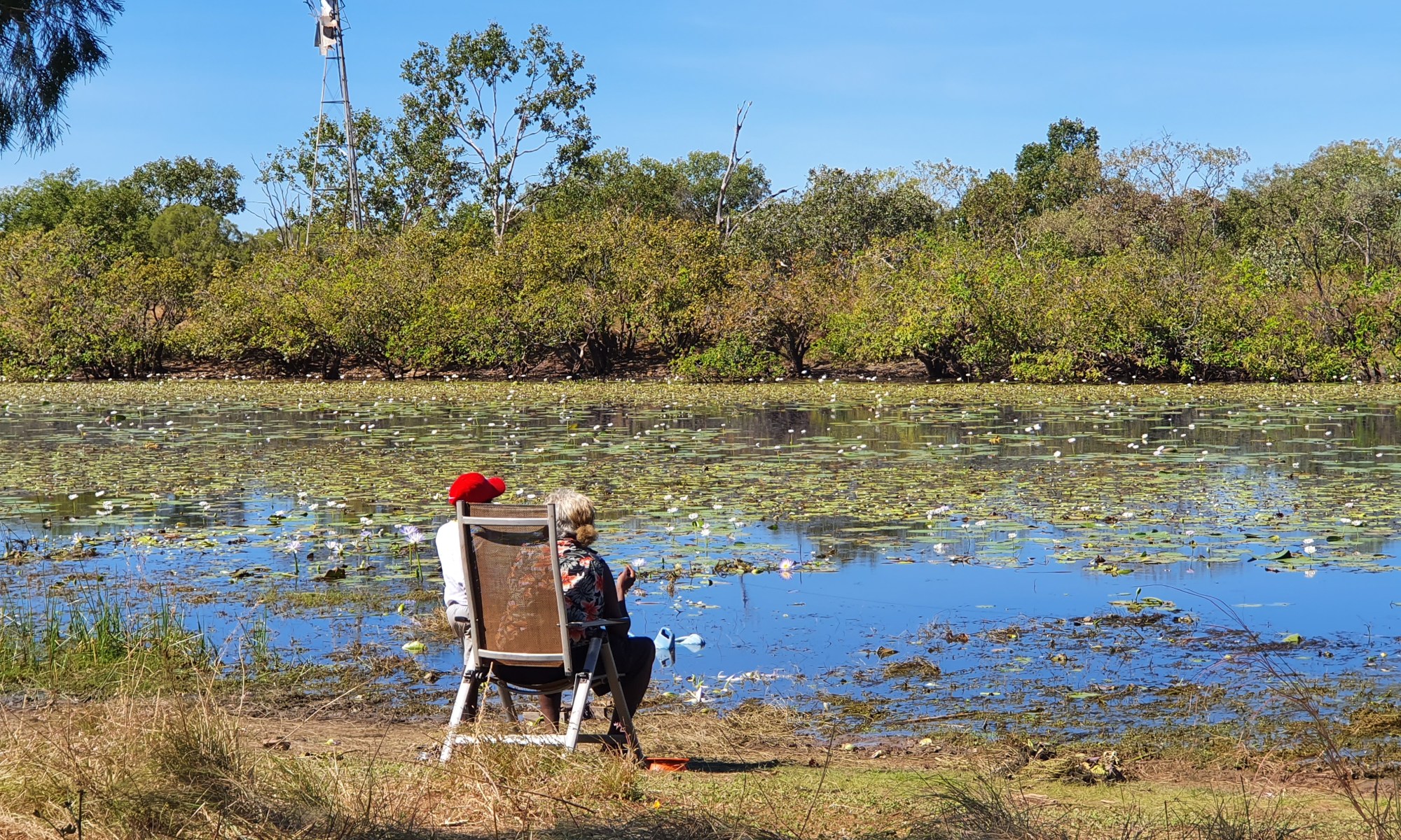
The community at Marralam continue a strong connection to Country and cultural practices, and are working towards having more community members living on Country. Traditional owners regularly maintain connection to Country by continuing ceremonial obligations and teaching future generations traditional knowledge. The community works hard to maintain a healthy Country, aspiring to be more involved in land management and decision-making processes.
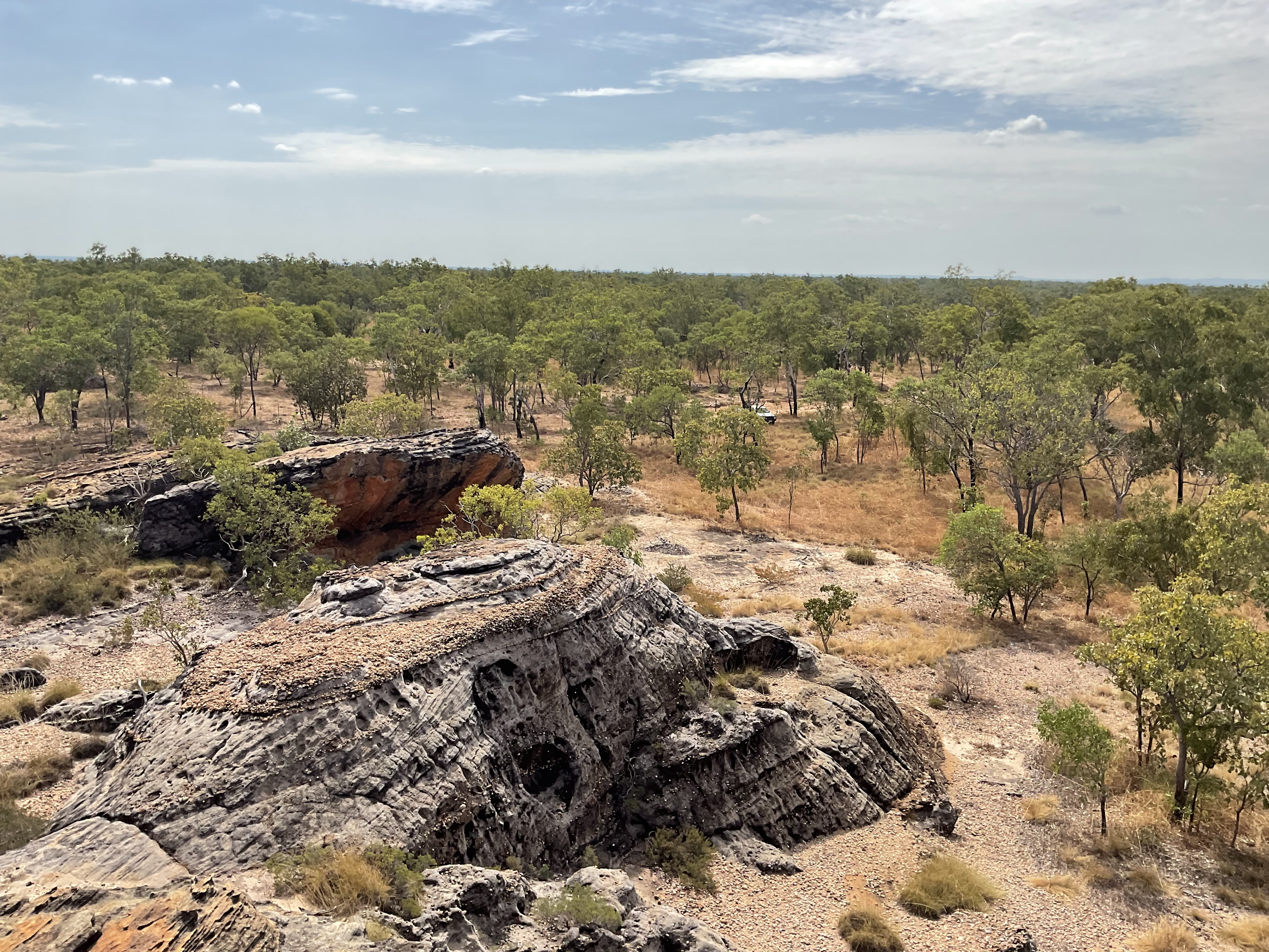
Gajerrong Country is located in the Keep River region of the Northern Territory. It is comprised of diverse landforms, characterised by rugged sandstone ranges, deep valleys, and imposing escarpments. These features are complemented by vegetation dominated by heathland and spinifex. Throughout the terrain, scattered rocky outcrops draped in vine thicket scrub transition into expansive black soil plains. During the wet season, these plains come alive with abundant growth, including rice and cane grass.
Watercourses meander through the landscape, cascading towards the Keep and Victoria rivers, weaving around outlier hills and sandy alluvial flats adorned with open grasslands and tree-lined streams. Moving towards the coast, the deltaic black soil gives way to grey tidal salt marshes, with small low offshore islands boasting extensive mangrove stands.
The climate is defined by tropical monsoonal patterns, characterised by distinct dry and wet seasons. The dry season experiences low rainfall and humidity, while the wet season is humid, punctuated by significant rainfall events, predominantly occurring between November and April.
